Gaofen satellites
China’s high-resolution Earth observation family includes Gaofen 1, submeter imaging with Gaofen 2, and stereo mapping with Gaofen 7, supporting land management, agriculture, and disaster response.
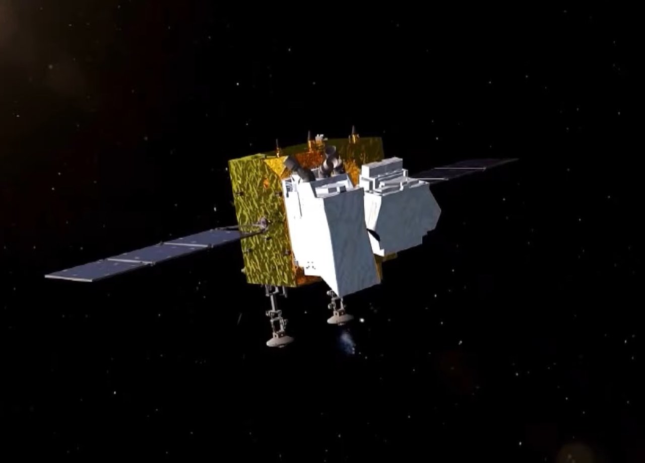
How much detail can a satellite see from hundreds of kilometers up? Gaofen’s name means high resolution, but its goal includes spatial, temporal, and spectral detail: sharper, more frequent, and richer observations.
China’s High-resolution Earth Observation System began in 2010. Gaofen 1 launched in 2013, and the program’s space segment was completed in 2022.
Does high resolution only mean sharper pictures?
No. Gaofen 1 combines relatively fine detail with a wide swath. Gaofen 2, launched in 2014, offers meter-class panchromatic and 4 m multispectral imagery.
Spatial resolution describes the ground area represented by a pixel. Smaller values usually reveal more detail, but coverage, revisit frequency, and spectral bands matter too.
Gaofen 7, launched in 2019, views terrain from two angles for stereo mapping. Gaofen 4 watches large regions from geostationary orbit. Gaofen 6 works with Gaofen 1 to improve revisit frequency.
Can it help farmers and rescuers?
Multispectral imagery reveals crop differences, supports yield estimates, and assesses drought and flooding. Planners track roads and development; rescuers compare pre- and post-disaster imagery.
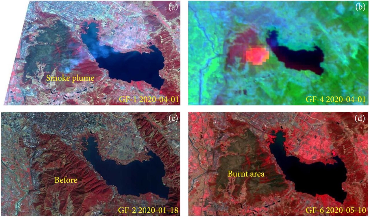
During the 2020 Xichang forest fire in Sichuan, Gaofen 1, 2, 4, and 6 provided views of smoke, active fire, and burned areas.
Can satellites identify an individual person?
Public civilian remote-sensing images are generally better suited to roads, buildings, and farmland than facial details. Clouds, viewing angle, and resolution limit them. They are more like broad maps than phone cameras suspended in space.
Did you know?
Gaofen is a family of different orbits and payloads. On December 9, 2022, the program announced completion. Its data supports surveys, agriculture, mapping, environmental monitoring, and disaster reduction.