Space Encyclopedia
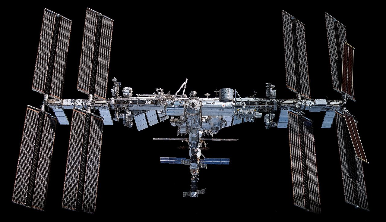
International Space Station (ISS)
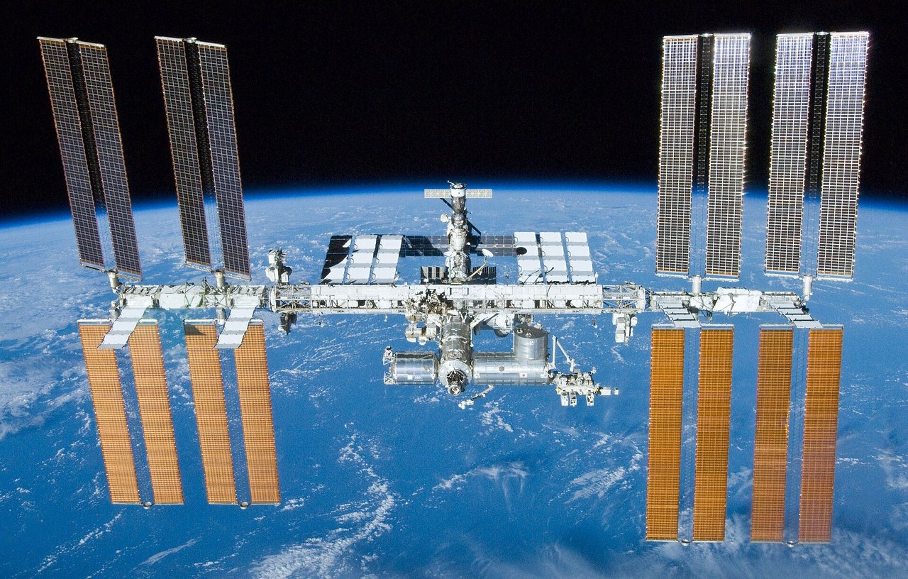
Imagine a laboratory the size of a football field circling Earth every 90 minutes. Astronauts live and experiment here, experiencing about 16 sunrises a day.
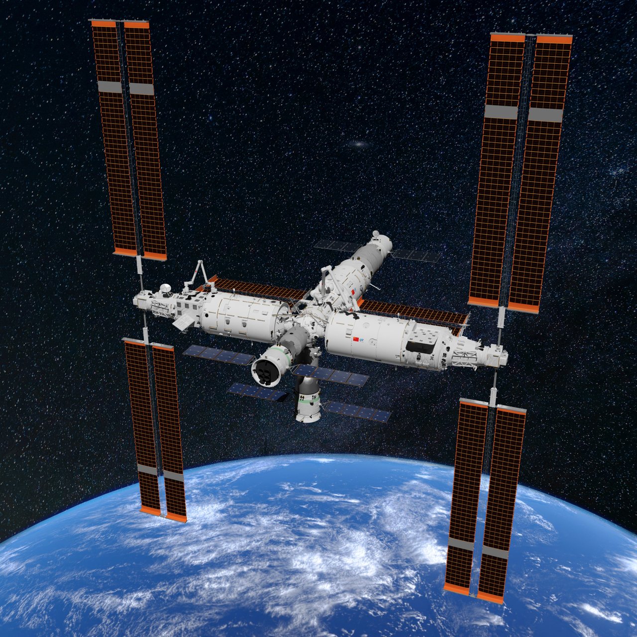
China Space Station (Tiangong)
China’s independently built crewed space station forms a T shape with the Tianhe core module and the Wentian and Mengtian laboratories. It normally hosts three crew members as a national space laboratory.
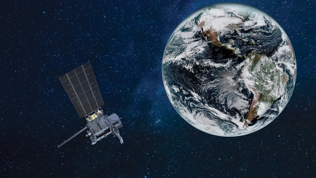
Why don’t satellites fall down?
Satellites never escape gravity: they keep falling toward Earth. They move sideways so fast that the surface curves away beneath them, turning their fall into an orbit.
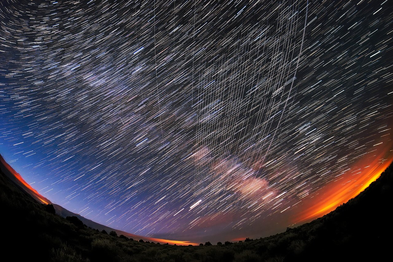
Starlink
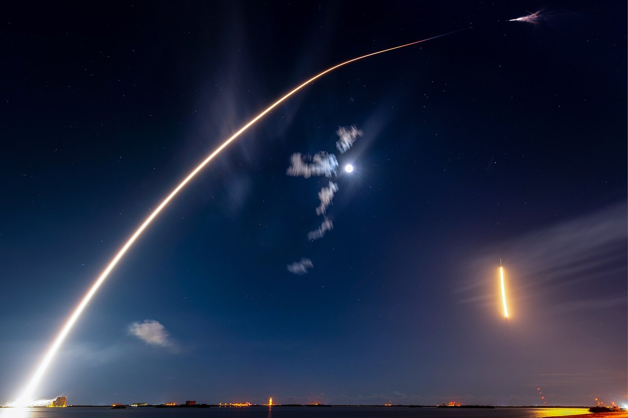
A moving string of bright points in the night sky may be newly launched Starlink satellites. They relay signals in low Earth orbit, bringing internet access to oceans, mountains, and places without mobile towers.
Space stations
Orbital laboratories allow people to live in space for extended periods. From Salyut 1 in 1971 to today’s ISS and Tiangong, they rely on visiting supply spacecraft and are among the brightest artificial objects in the night sky.
OneWeb (Eutelsat OneWeb)
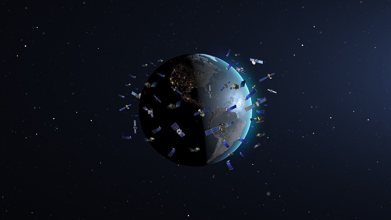
A low Earth orbit internet constellation whose first phase comprises about 648 satellites at 1,200 km. After bankruptcy in 2020, the UK government and Bharti took over; it merged with Eutelsat in 2023 and focuses on government, enterprise, maritime, and aviation customers.
Qianfan constellation (G60)
A Chinese low Earth orbit internet megaconstellation operated by Shanghai Spacesail. Its first operational batch launched in August 2024. Plans call for over 15,000 satellites providing global broadband.
China SatNet (Guowang)
China SatNet’s national low Earth orbit internet system plans about 12,992 satellites. Deployment began in late 2024, with the aim of building a global space-based broadband network.
Amazon Leo (formerly Project Kuiper)
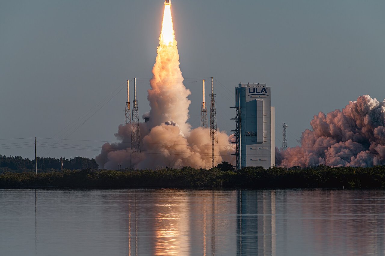
Amazon is building moving base stations in space. Formerly called Project Kuiper, the low Earth orbit network has been renamed Amazon Leo and continues deploying satellites to bring broadband beyond the reach of terrestrial networks.
Global Navigation Satellite Systems (GNSS)
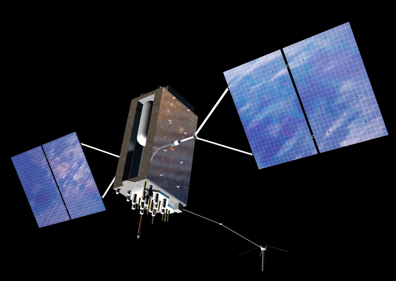
Where does the blue dot on your phone’s map come from? About 20,000 km overhead, navigation satellites broadcast precise time signals that let your phone calculate its position on Earth.
Weather satellites
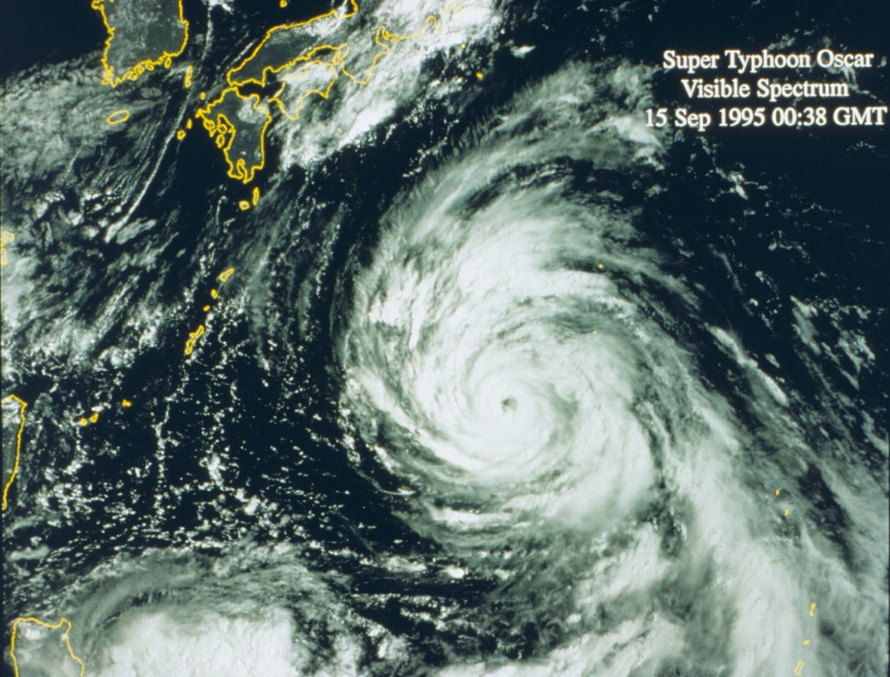
How can a weather app see the eye of a typhoon? Some weather satellites scan Earth as they orbit; others watch the same region continuously. Together they monitor clouds, oceans, and the atmosphere.
Earth observation & remote sensing
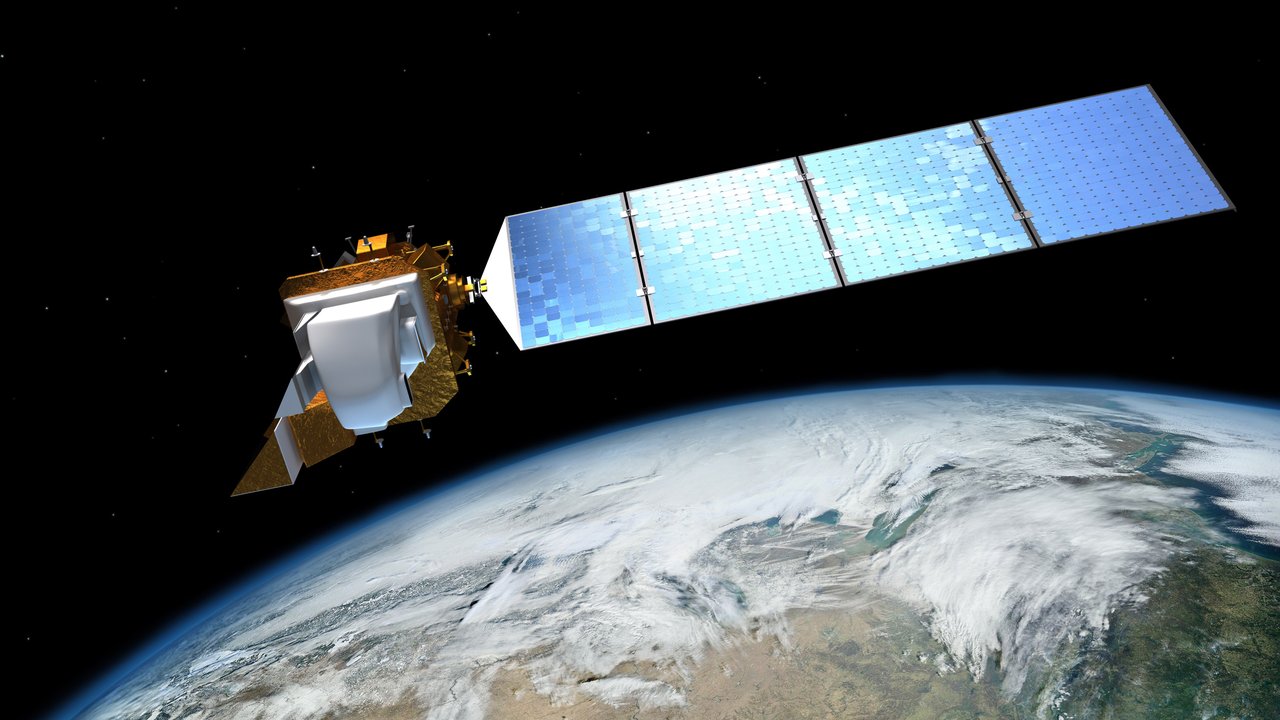
These satellites give Earth regular checkups. Their images reveal crop growth, forest changes, and flood extent, and help update the maps we use every day.
Science satellites
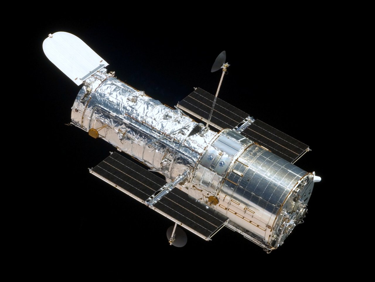
What would we see if we moved telescopes and laboratories above the atmosphere? Science satellites study parts of the universe hidden from the ground and perform experiments difficult to conduct on Earth.
Geostationary satellites
Why does a satellite stay in the same direction in the sky? At about 35,786 km above the equator, its orbit takes one sidereal day, making it appear stationary from the ground.
Amateur radio satellites
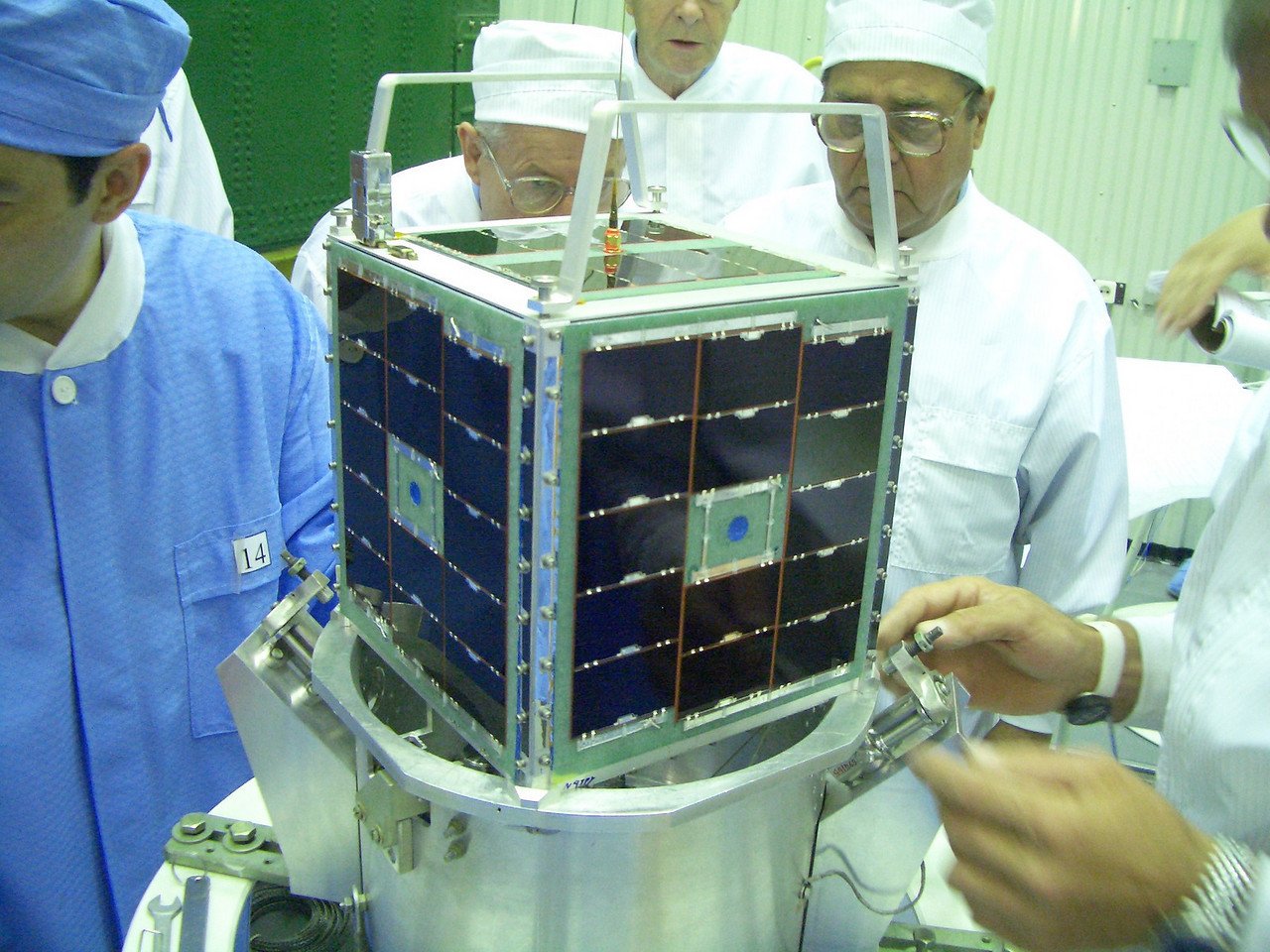
Radio enthusiasts have built and operated these satellites since OSCAR 1 in 1961. A dual-band radio and a Yagi antenna can make space contacts through FM repeaters such as SO-50, or even the ISS.
CubeSats
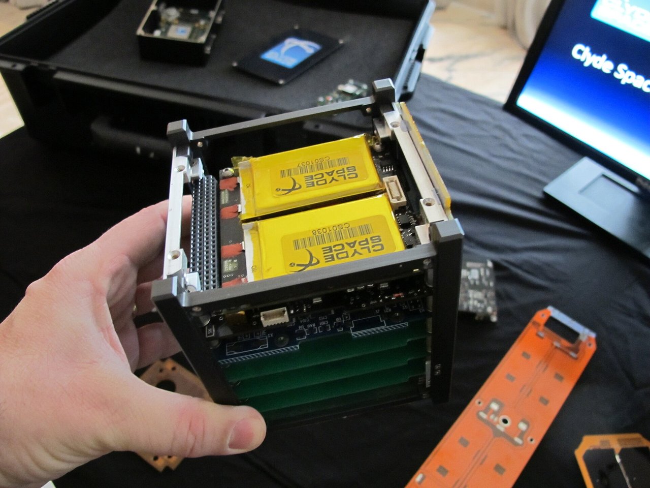
Can a satellite be as small as a tissue box? A 1U CubeSat is about 10 cm on each side. Standard parts fit together like building blocks, allowing even student teams to send experiments into space.
Hubble Space Telescope (HST)
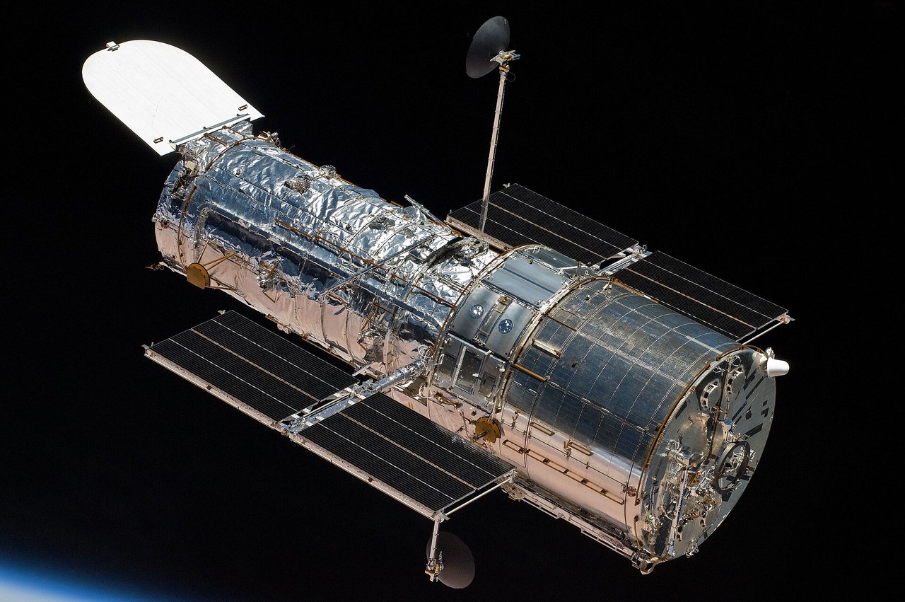
This NASA/ESA observatory launched on April 24, 1990. Its 2.4-meter primary mirror and five shuttle servicing missions enabled images such as the Pillars of Creation and the deep fields; it remains in orbit.
Landsat
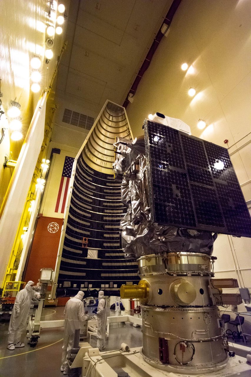
NASA and USGS began the longest-running continuous Earth observation program with Landsat 1 in 1972. From a roughly 705 km Sun-synchronous orbit, each satellite revisits every 16 days to record agriculture, forests, disasters, and urban change.
NOAA polar-orbiting weather satellites
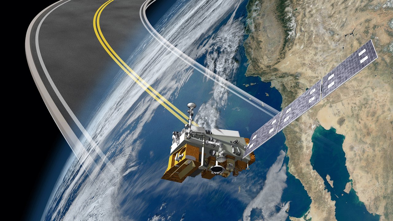
NOAA’s polar weather satellite family traces its history to TIROS in 1960. Successive POES and JPSS spacecraft provide global observations for numerical weather prediction.
Metop
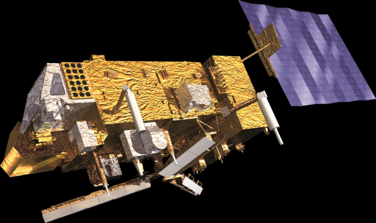
Europe’s first operational polar weather satellite family complements NOAA’s afternoon-orbit satellites. Instruments such as IASI measure atmospheric temperature and humidity profiles for forecasts and climate monitoring.
Fengyun weather satellites
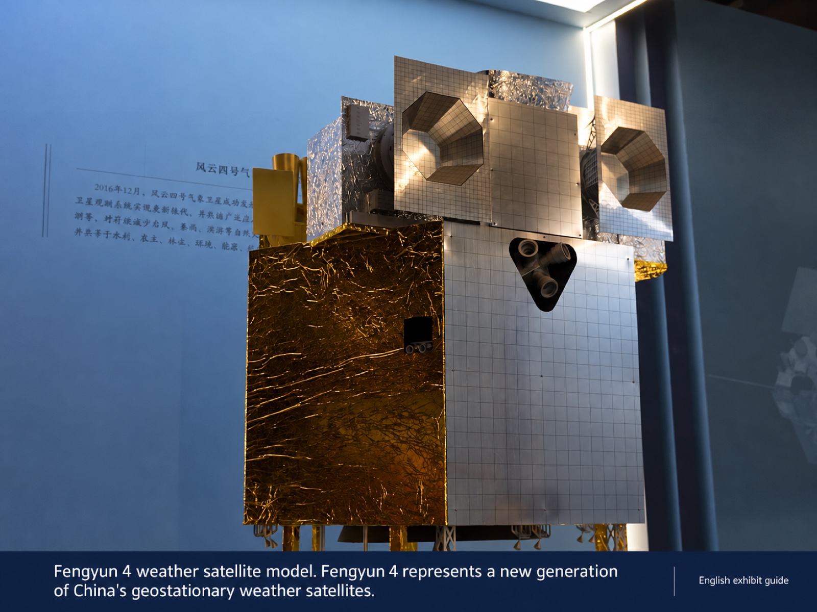
China’s weather satellite family includes polar and geostationary series. More than twenty have launched since Fengyun 1A in 1988, monitoring typhoons and heavy rain and sharing data with over a hundred countries.
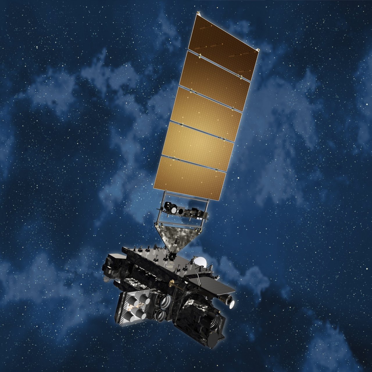
GOES
NOAA’s geostationary weather satellite series began in 1975. Operational eastern and western satellites watch the Americas for weather forecasting, hurricane tracking, and space-weather monitoring.

Copernicus Sentinel satellites
The core of the EU’s Copernicus program includes Sentinel-1 radar, Sentinel-2 optical imaging, Sentinel-3 ocean observations, Sentinel-5P atmosphere monitoring, and Sentinel-6 altimetry. Free global access to their data has transformed Earth observation.
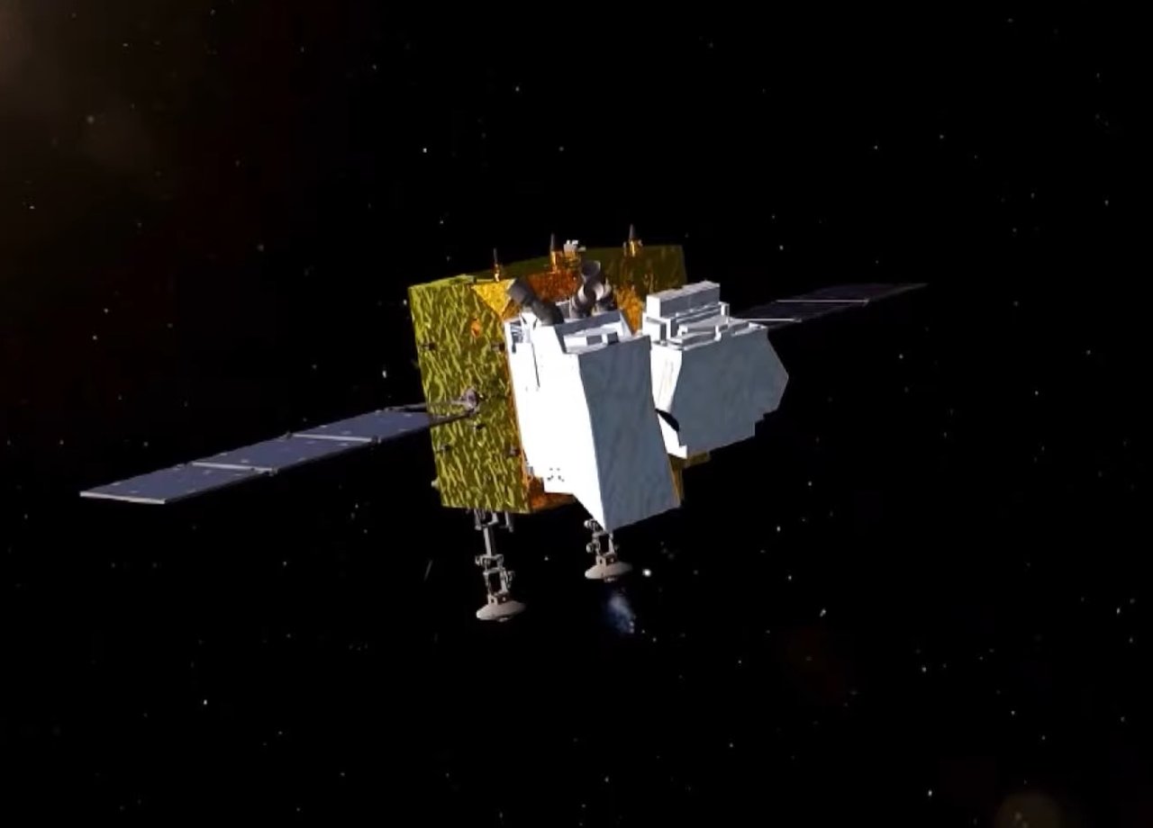
Gaofen satellites
China’s high-resolution Earth observation family includes Gaofen 1, submeter imaging with Gaofen 2, and stereo mapping with Gaofen 7, supporting land management, agriculture, and disaster response.
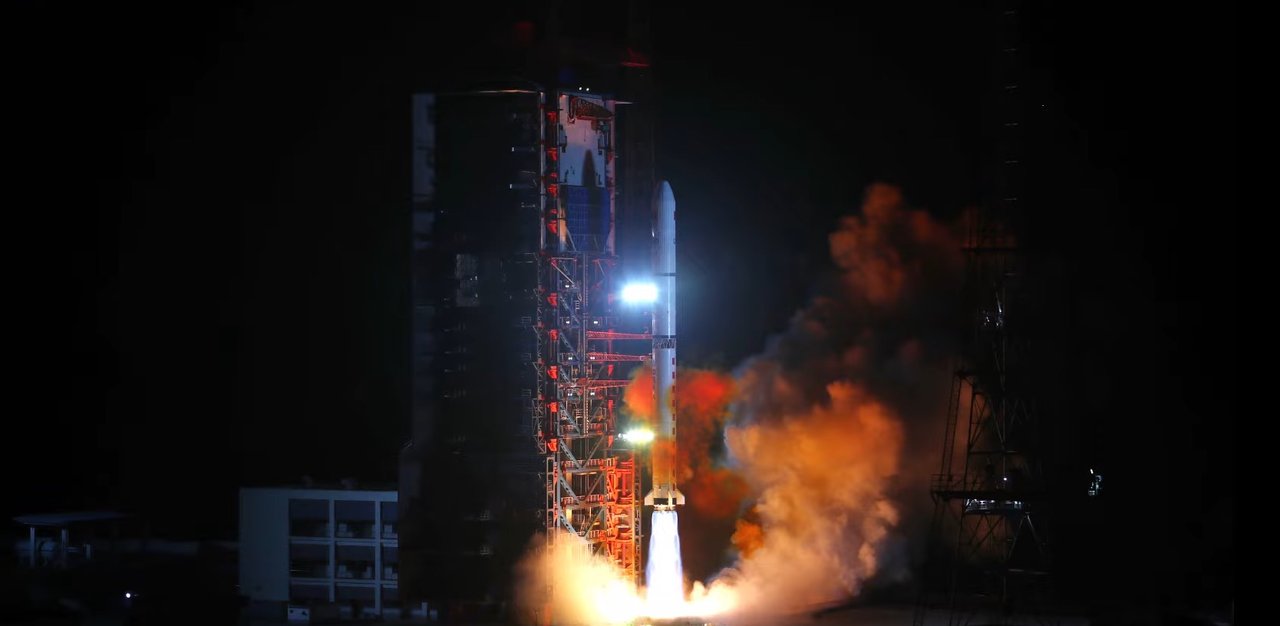
Yaogan satellites
One of China’s largest Earth observation constellations, with roughly 150 satellites launched since 2006, using optical and radar instruments. Official descriptions emphasize scientific experiments and land-resource surveys.
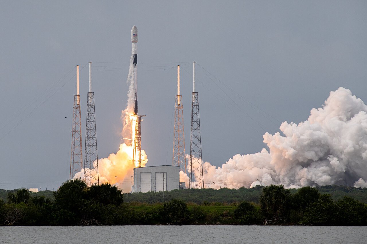
Loft Orbital (YAM series)
This US satellite-as-a-service company provides shared platforms for customer payloads through its YAM series, including YAM-2, 3, 5, and 6. It sells services rather than satellites, with multiple payloads launched on SpaceX rideshare missions.
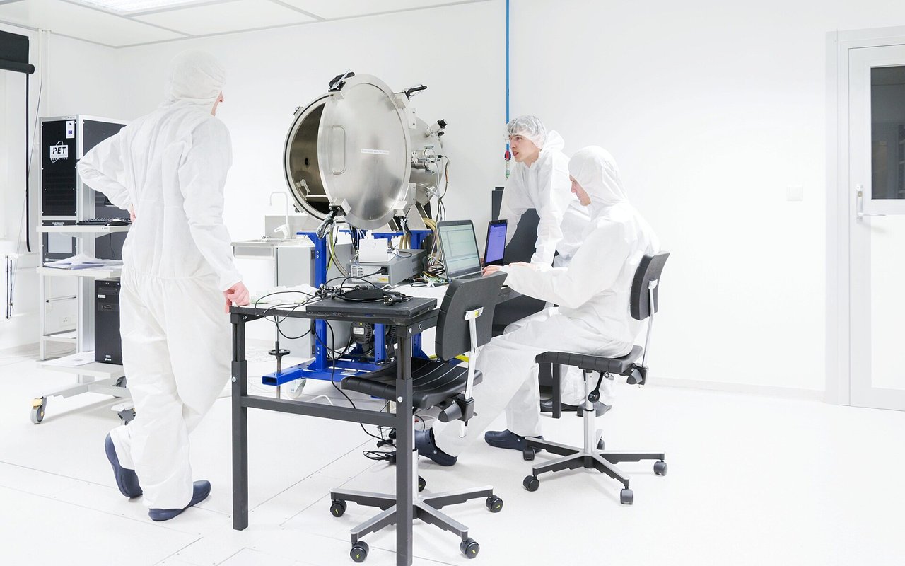
Arvaker (N3X) maritime surveillance satellites
Kongsberg built this three-microsatellite series for Norway’s armed forces. The N3X constellation uses AIS receivers and navigation-radar detectors to track ships from low Earth orbit; all three reached orbit in 2025.
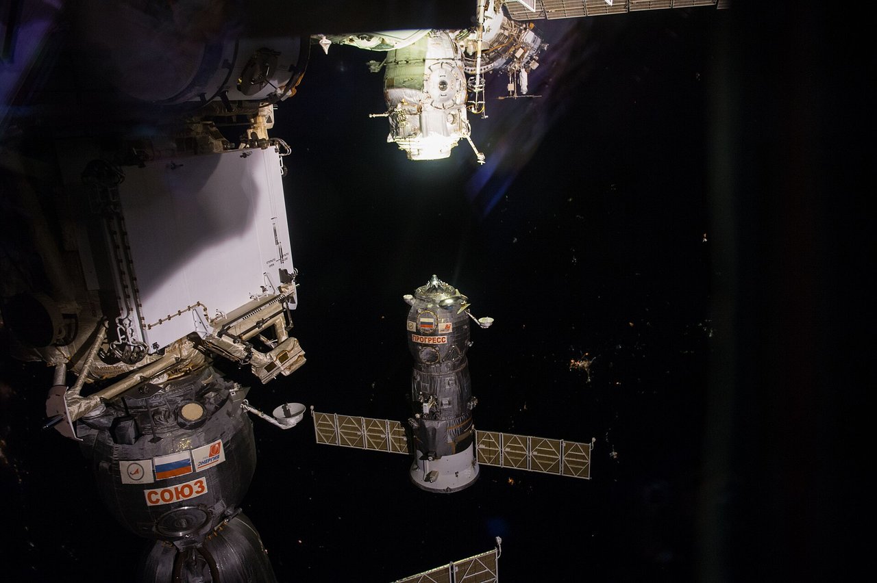
Progress cargo spacecraft
This expendable Soviet/Russian cargo craft was derived from Soyuz. First flown in 1978, it supplied Salyut, Mir, and the ISS with cargo and propellant before burning up during controlled reentry.
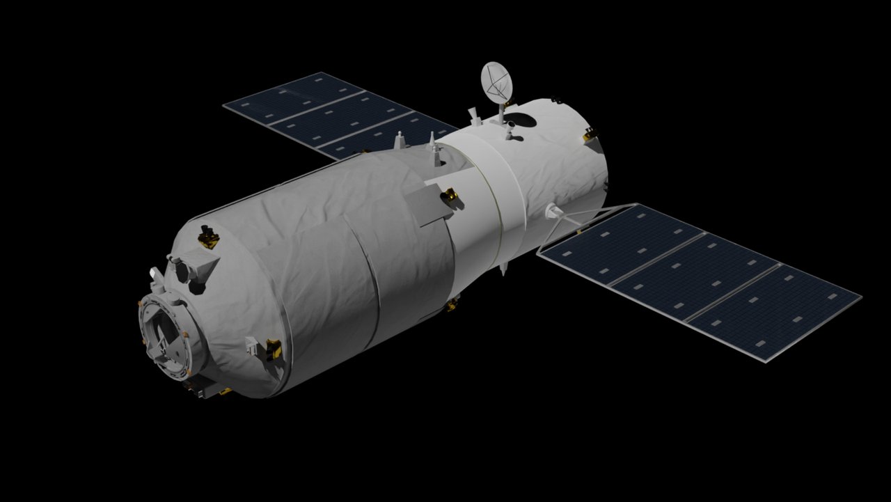
Tianzhou cargo spacecraft
China’s uncrewed supply craft for Tiangong first flew in 2017. It delivers cargo and propellant and can complete an autonomous fast rendezvous and docking in about three hours.
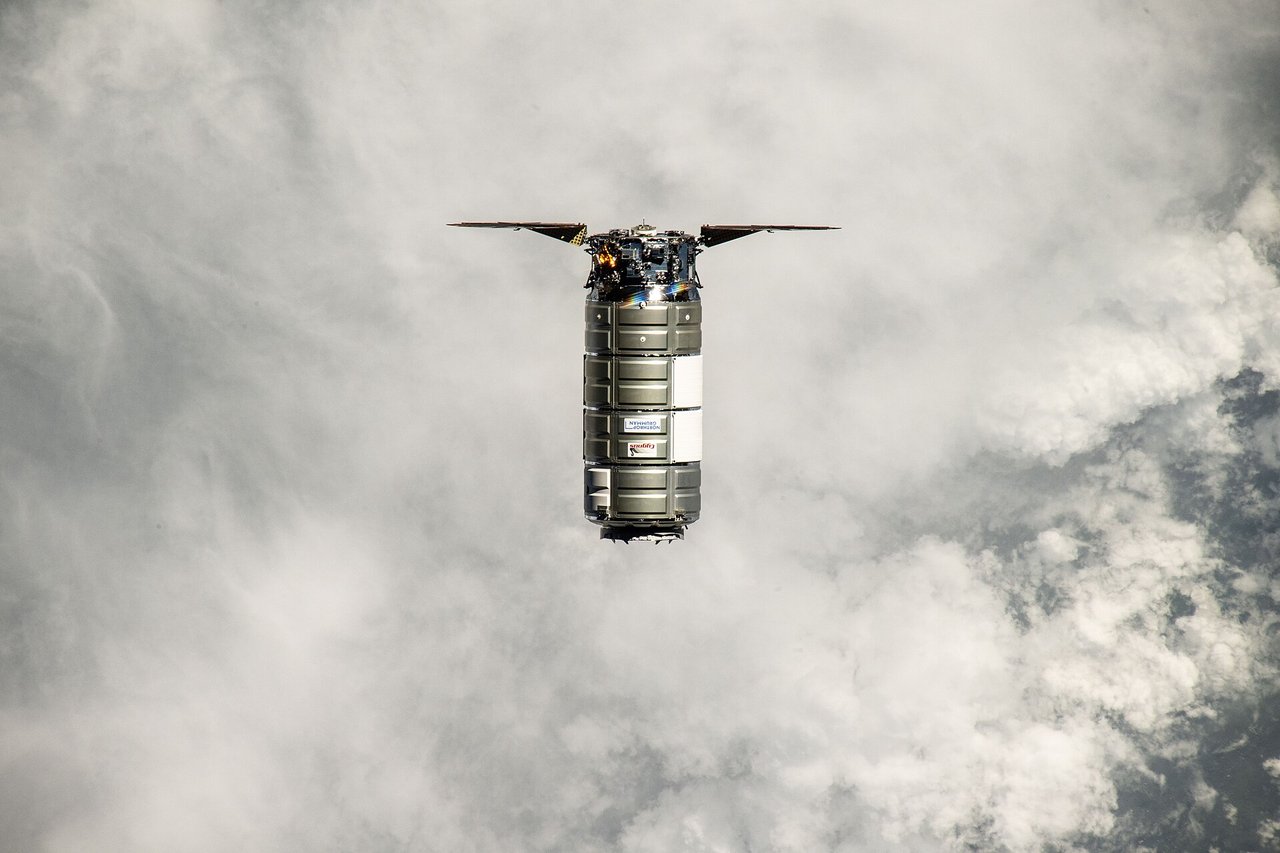
Cygnus cargo spacecraft
Northrop Grumman’s expendable uncrewed cargo craft first flew in 2013. It brings supplies to the ISS and disposes of waste by burning up during reentry.
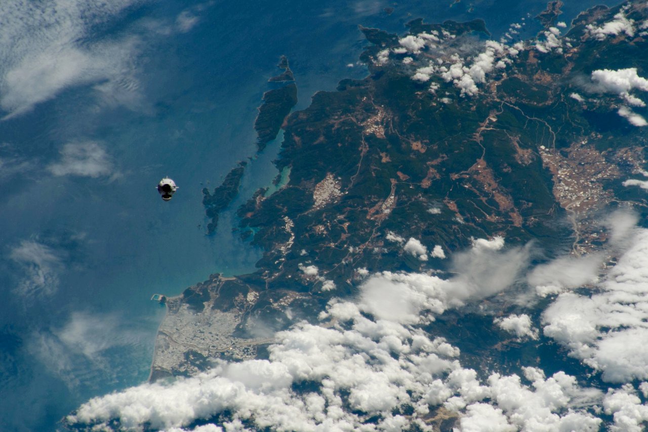
Dragon spacecraft family
SpaceX’s reusable spacecraft family first flew in cargo form in 2010. Crew Dragon first carried astronauts in 2020. Capsules return by ocean splashdown.
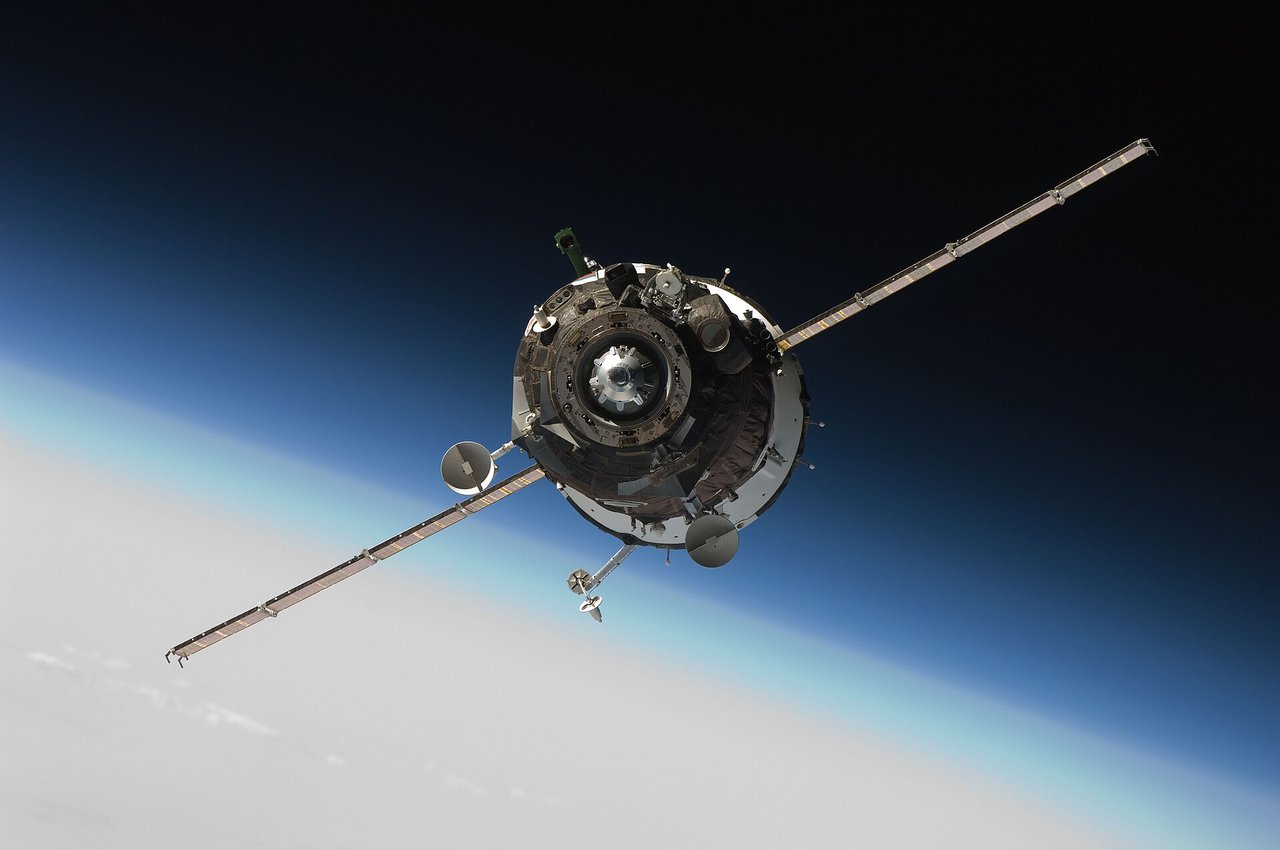
Soyuz crewed spacecraft
The world’s longest-serving crewed spacecraft first flew in 1967. It carries up to three people to and from the ISS and includes a launch escape system.
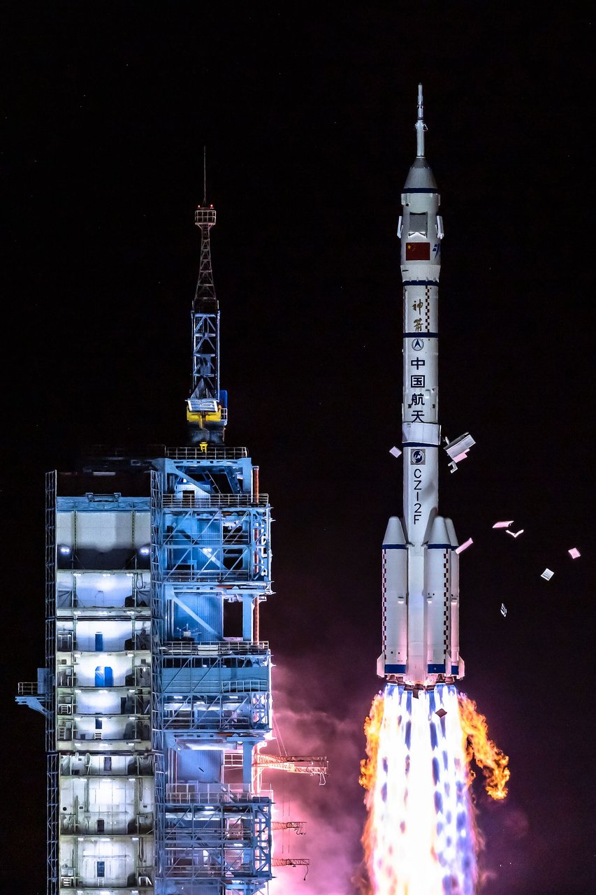
Shenzhou crewed spacecraft
China’s dedicated crew transport first flew without a crew in 1999. Shenzhou 5 carried Yang Liwei on China’s first human spaceflight in 2003. The three-module spacecraft has regularly served Tiangong since Shenzhou 12.
No matching articles