Global Navigation Satellite Systems (GNSS)
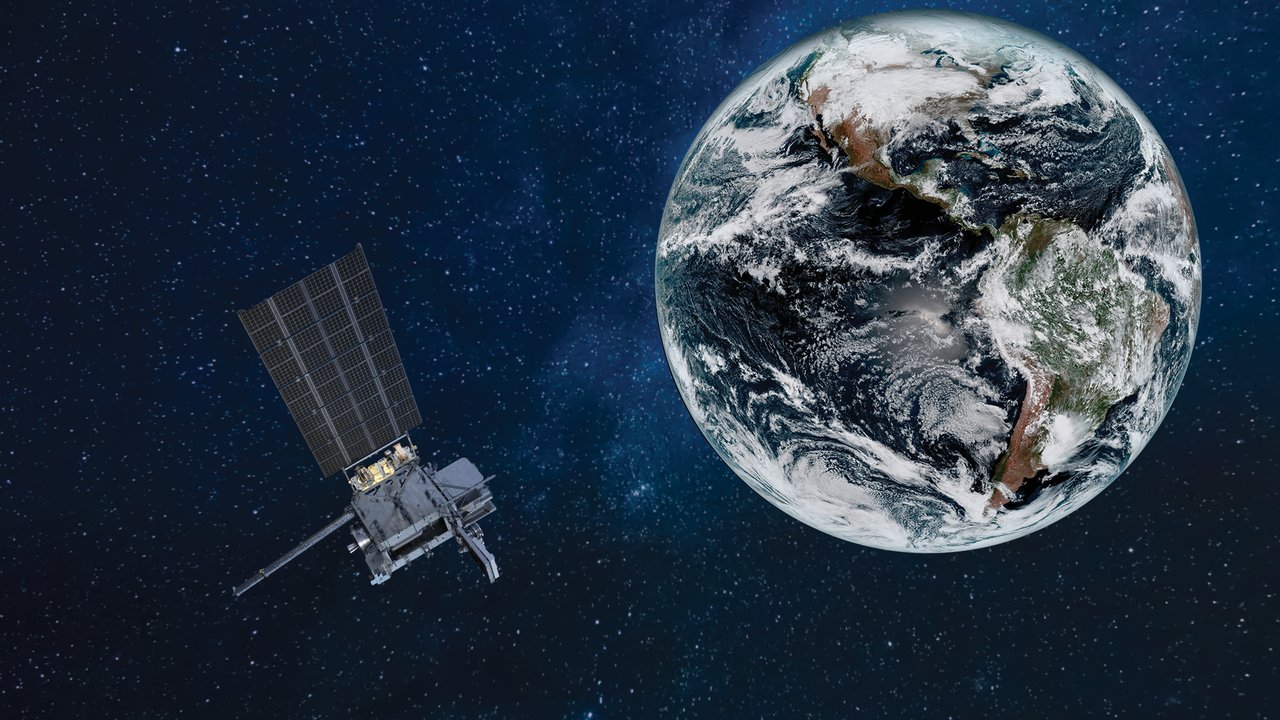
Where does the blue dot on your phone’s map come from? About 20,000 km overhead, navigation satellites broadcast precise time signals that let your phone calculate its position on Earth.
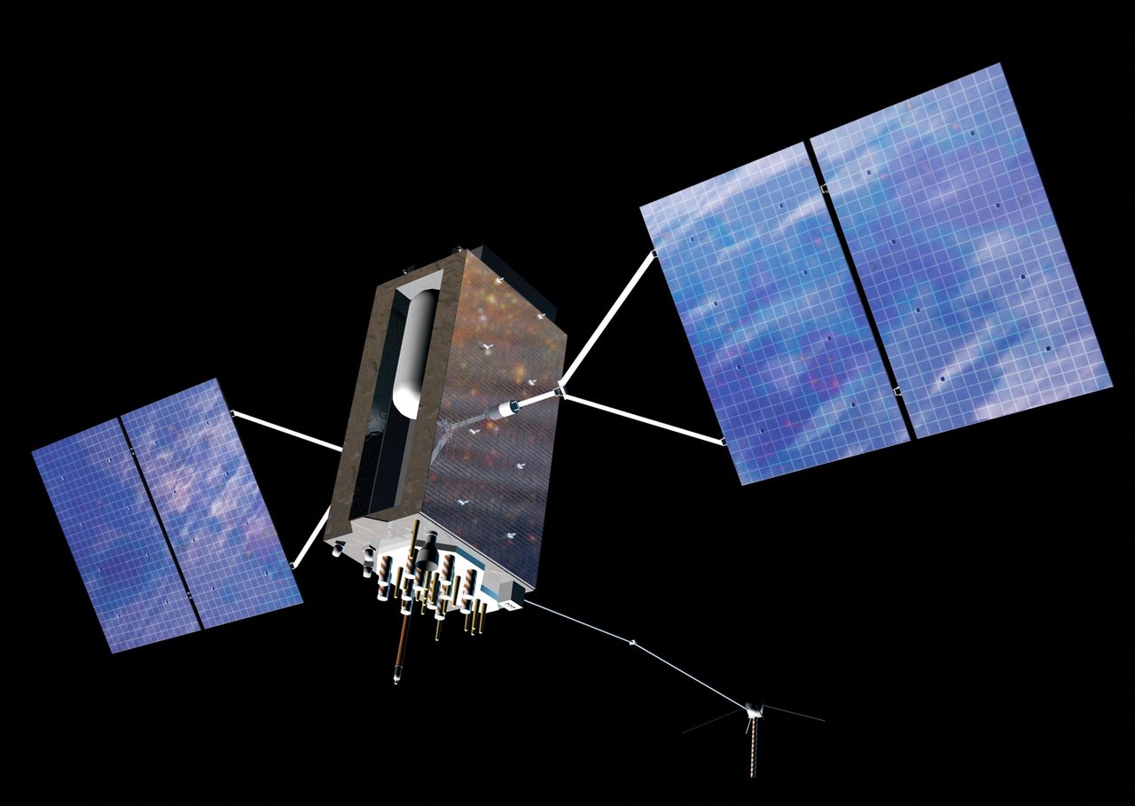
Why does the blue dot on your map know where you are? Part of the answer is about 20,000 km above you.
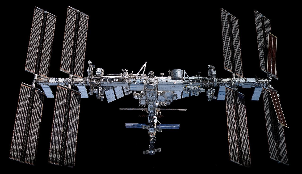
Global Navigation Satellite Systems (GNSS) broadcast precise time and orbital information so phones, vehicles, and ships can calculate their positions. The major global systems are US GPS, China’s BeiDou, Russia’s GLONASS, and the EU’s Galileo. Most of their main satellites occupy medium Earth orbits about 20,000 km high—roughly fifty times the ISS’s altitude.
Which systems are there?
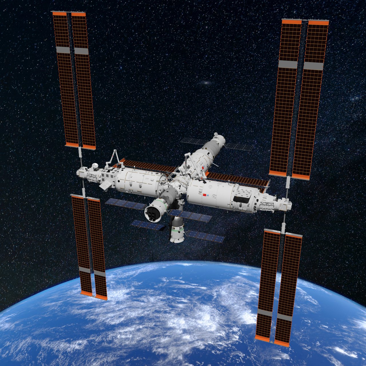
GPS reached full operational capability in 1995, the first global system. GLONASS uses orbits that provide good high-latitude coverage. The EU’s Galileo is primarily civilian. China’s BeiDou-3 global system officially entered service on July 31, 2020.
Each uses dozens of satellites, giving users around the world enough visible spacecraft to make measurements.
How does positioning work?
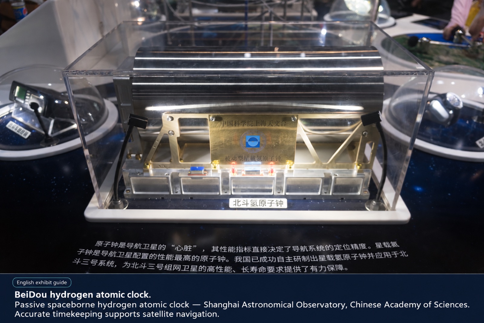
Each satellite carries atomic clocks and broadcasts where it is and what time it is. A phone estimates its distance from each satellite by measuring how long the signal takes to arrive.
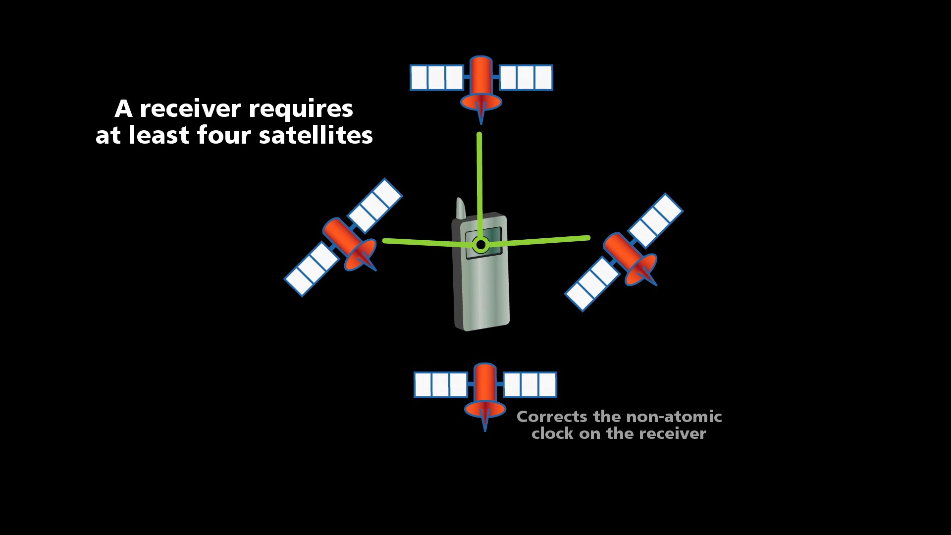
Knowing several distances lets it use trilateration to narrow down its location. Because a phone’s clock is much less precise than an atomic clock, three-dimensional positioning normally requires signals from at least four satellites simultaneously, also solving the receiver’s clock error.
Accuracy and augmentation
Open civilian signals usually provide accuracy of a few meters; phone navigation often achieves 3–5 m. Ground augmentation, satellite-based augmentation, and dual-frequency signals can improve this to decimeters or centimeters for surveying and automated driving. BeiDou also offers short-message communication in places without terrestrial networks, such as oceans and deserts.
Can a map locate you offline?
Satellite positioning itself does not require mobile internet, so a phone can still calculate its position offline. Without downloaded maps, however, it may show a dot without roads. Positioning and downloading maps are separate tasks.
Modern phones generally support several systems. More available satellites improve the chance of stable positioning between buildings or near trees.