NOAA polar-orbiting weather satellites
NOAA’s polar weather satellite family traces its history to TIROS in 1960. Successive POES and JPSS spacecraft provide global observations for numerical weather prediction.
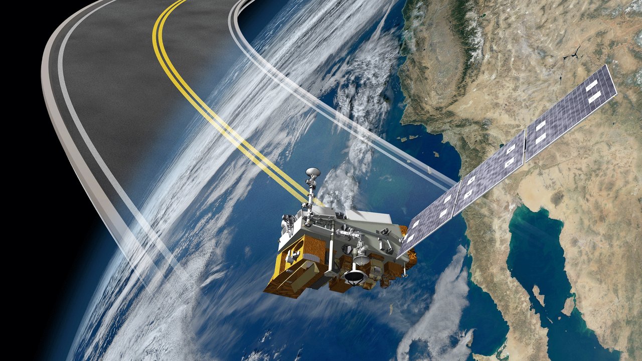
How do forecasts anticipate tomorrow’s cold spell? Alongside ground weather stations, satellites orbit Earth about fourteen times a day. NOAA’s polar weather satellites are an important part of this network.
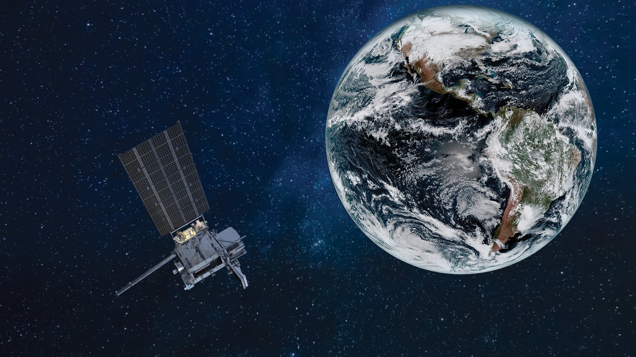
Operated by the National Oceanic and Atmospheric Administration, the family includes the earlier POES and succeeding JPSS systems. Most fly in Sun-synchronous orbits around 800–850 km high, observing the globe within a day or two.
What does polar orbit mean?
These satellites pass near the poles. Earth rotates below successive scanning swaths, allowing global coverage. Sun-synchronous timing means they pass a location at roughly the same local time, making different dates easier to compare.
POES examples include NOAA-15 (1998), NOAA-18 (2005), and NOAA-19 (2009). The later JPSS family includes Suomi NPP (2011), NOAA-20 (2017), and NOAA-21 (2022). Their heritage extends to TIROS-1, the first weather satellite, launched in 1960.
How do they measure atmospheric temperature?
They do not lower a thermometer. Instruments such as VIIRS, CrIS, and ATMS measure visible, infrared, and microwave radiation, from which scientists infer cloud properties, sea temperatures, and atmospheric temperature and humidity at different heights.
The data feeds numerical weather prediction: models read Earth’s present state and calculate how air may move next. Satellites also monitor fires, sea ice, and ozone, and relay some maritime and aviation distress signals.
Can one satellite predict rain at my house?
It sees large-scale clouds, moisture, and temperatures but cannot alone specify when rain reaches your window. Forecasts also need radar, stations, buoys, and models. Satellites provide a whole-body scan; local observations supply detail.
Did you know?
NOAA works with partners such as Europe’s Metop, which pass at different times to provide more frequent global atmospheric snapshots.