Earth observation & remote sensing
These satellites give Earth regular checkups. Their images reveal crop growth, forest changes, and flood extent, and help update the maps we use every day.
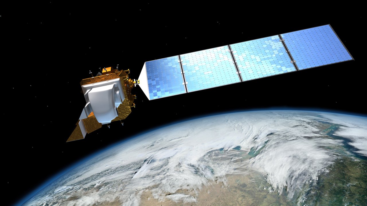
How much land did a flood cover? In which direction did a city grow over ten years? Remote-sensing satellites repeatedly image and measure Earth so different dates can be compared.
Examples include Landsat, Europe’s Sentinel family, and China’s Gaofen series.
What are they?
The first Landsat launched in July 1972, beginning the longest continuous global land-observation record. Landsat 8 and 9 fly in Sun-synchronous orbits about 705 km high, passing a location at roughly the same local time for comparable lighting. Each revisits every 16 days; offsetting their orbits provides more frequent views.
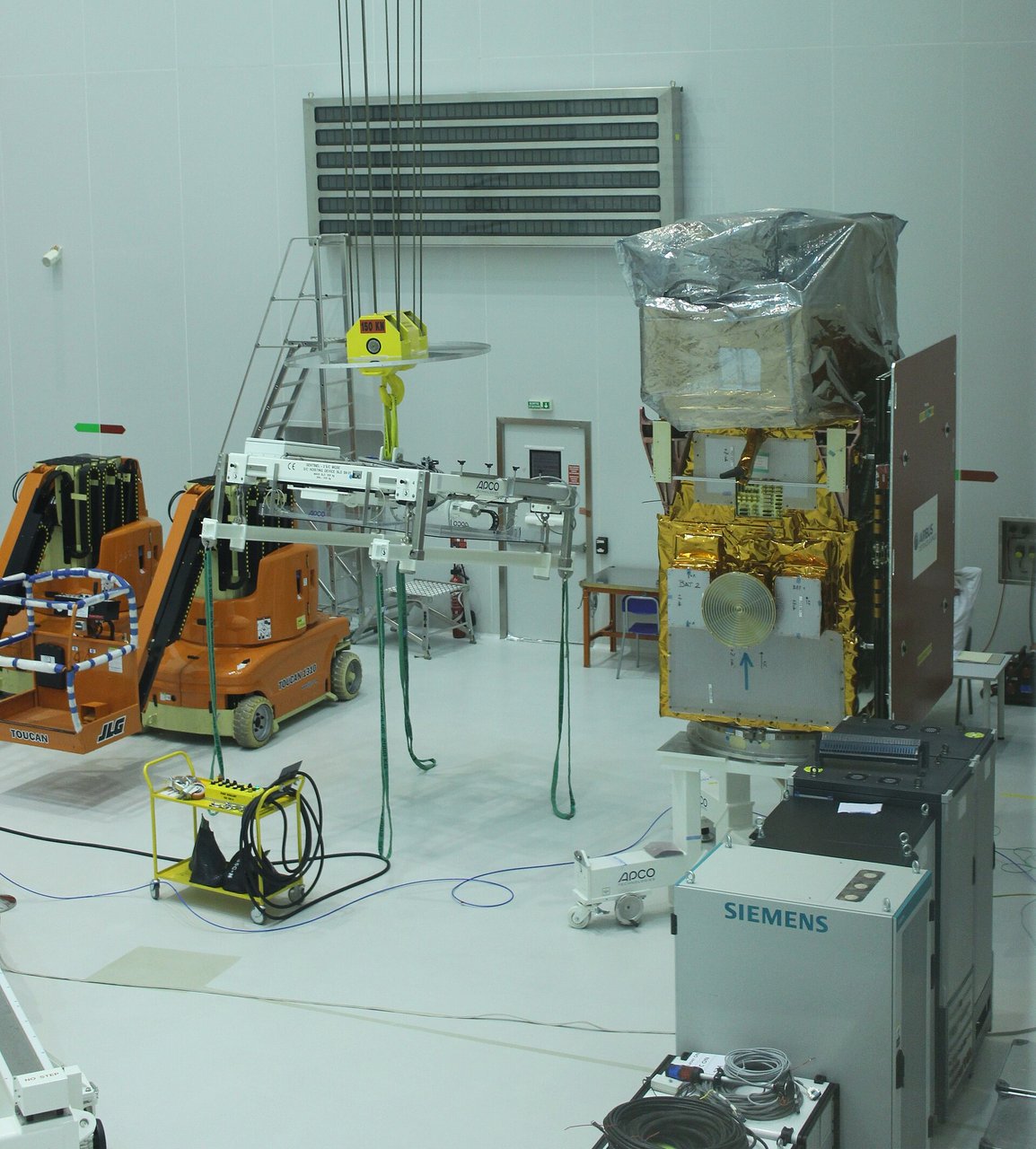
The Sentinels are central to Copernicus: Sentinel-1 radar images through clouds day and night, Sentinel-2 records multispectral images, and Sentinel-5P monitors atmospheric composition. China’s Gaofen program began in 2013; Gaofen 2 achieved submeter resolution, while Gaofen 7 adds stereo mapping.
What are they used for?
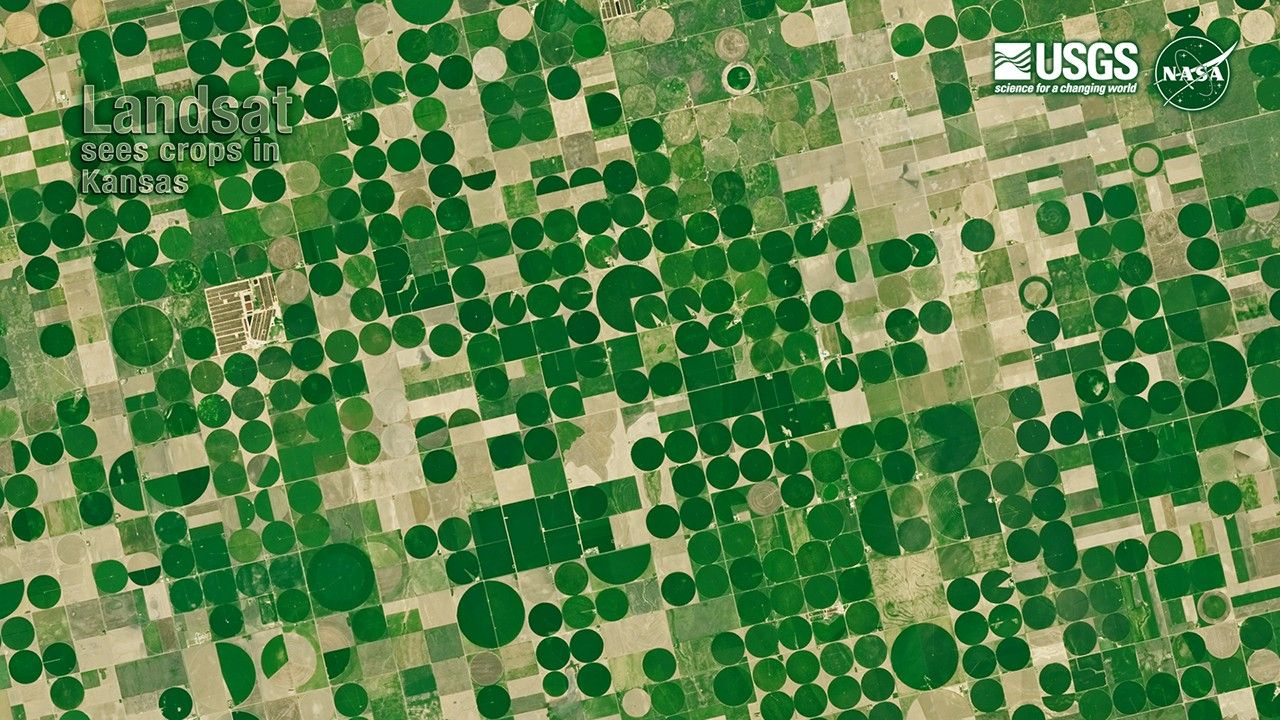
Remote sensing records wavelengths beyond human vision. Healthy and water-stressed plants reflect different spectra, helping monitor crop growth and drought.
After disasters, images estimate flood extent, landslides, and burned areas. Long-term comparisons reveal urban expansion, shrinking lakes, and changing glaciers. They are also essential for mapping and land surveys.
Can a phone map show what I’m doing right now?
Usually not. Satellites do not stay overhead, and imaging, transmission, processing, and map updates take time. Satellite basemaps often combine images from different dates rather than showing a live feed.
Landsat’s archive is freely available worldwide. More than half a century of images forms a long-term photo album of our changing planet.