Yaogan satellites
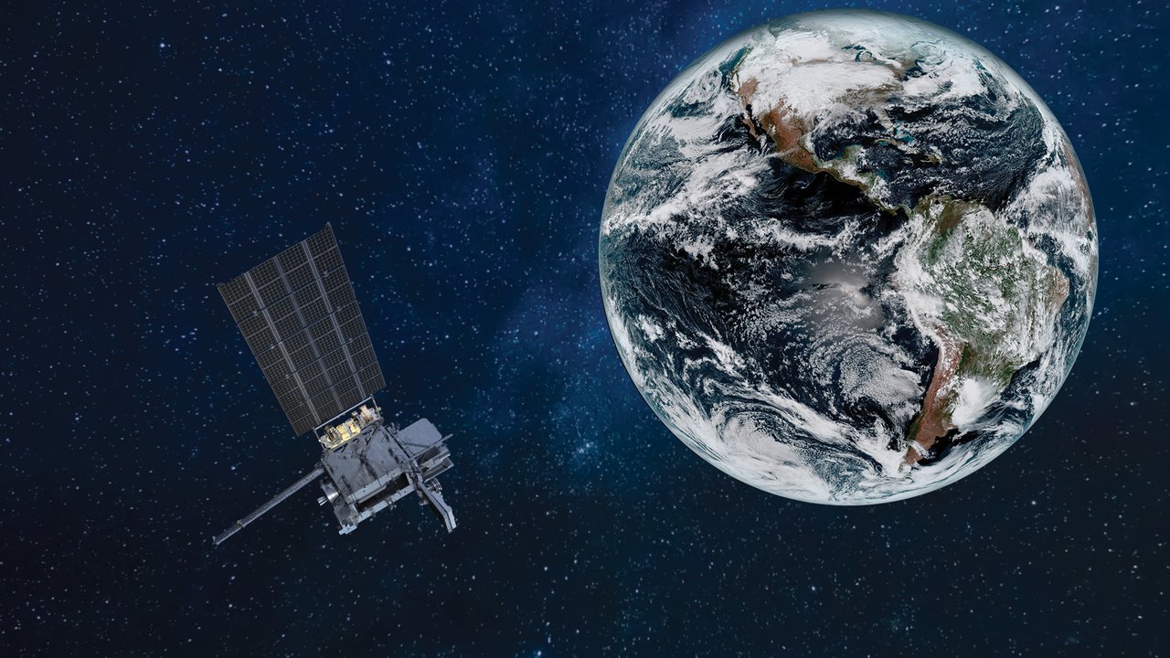
One of China’s largest Earth observation constellations, with roughly 150 satellites launched since 2006, using optical and radar instruments. Official descriptions emphasize scientific experiments and land-resource surveys.
Remote sensing means learning about Earth from a distance. Satellites do not need to land in fields, forests, or oceans: electromagnetic signals reveal what is happening there.
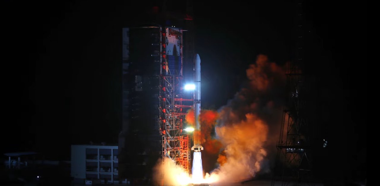
China’s Yaogan series began with Yaogan 1, launched from Taiyuan on April 26, 2006. Public descriptions mention scientific experiments and land-resource surveys. Because some payloads and uses are not detailed publicly, this article describes only confirmable information.
Is remote sensing just photography from space?
Visible photographs are only one method. Optical instruments measure reflected sunlight; radar transmits microwaves and receives echoes. Fields, forests, cities, and water produce different spectral fingerprints and radar textures.
Some Yaogan spacecraft use Sun-synchronous orbits, passing at similar local times so consistent lighting makes changes easier to detect.
Why can radar work at night and through clouds?
Synthetic aperture radar (SAR) supplies its own microwave illumination and penetrates many clouds. It can reconstruct surface features in darkness, making it useful over rainy regions, oceans, and disaster sites.
How does it relate to daily life?
Publicly described uses include land surveys, crop assessment, floods, fires, and environmental and ocean observations. Satellites do not directly tell rescuers where to go, but before-and-after imagery highlights changes for ground investigation.
Why are no images from the satellites shown here?
Some Yaogan imagery and payload information is not public. This page uses launch photographs and distinguishes official uses from speculation. Without reliable information, “unknown” is a valid answer.
Did you know?
Remote sensing relies on electromagnetic radiation. Human eyes see only a narrow portion, while satellites also detect infrared and microwaves. Different bands reveal vegetation moisture and growth in the same field.