Weather satellites
How can a weather app see the eye of a typhoon? Some weather satellites scan Earth as they orbit; others watch the same region continuously. Together they monitor clouds, oceans, and the atmosphere.
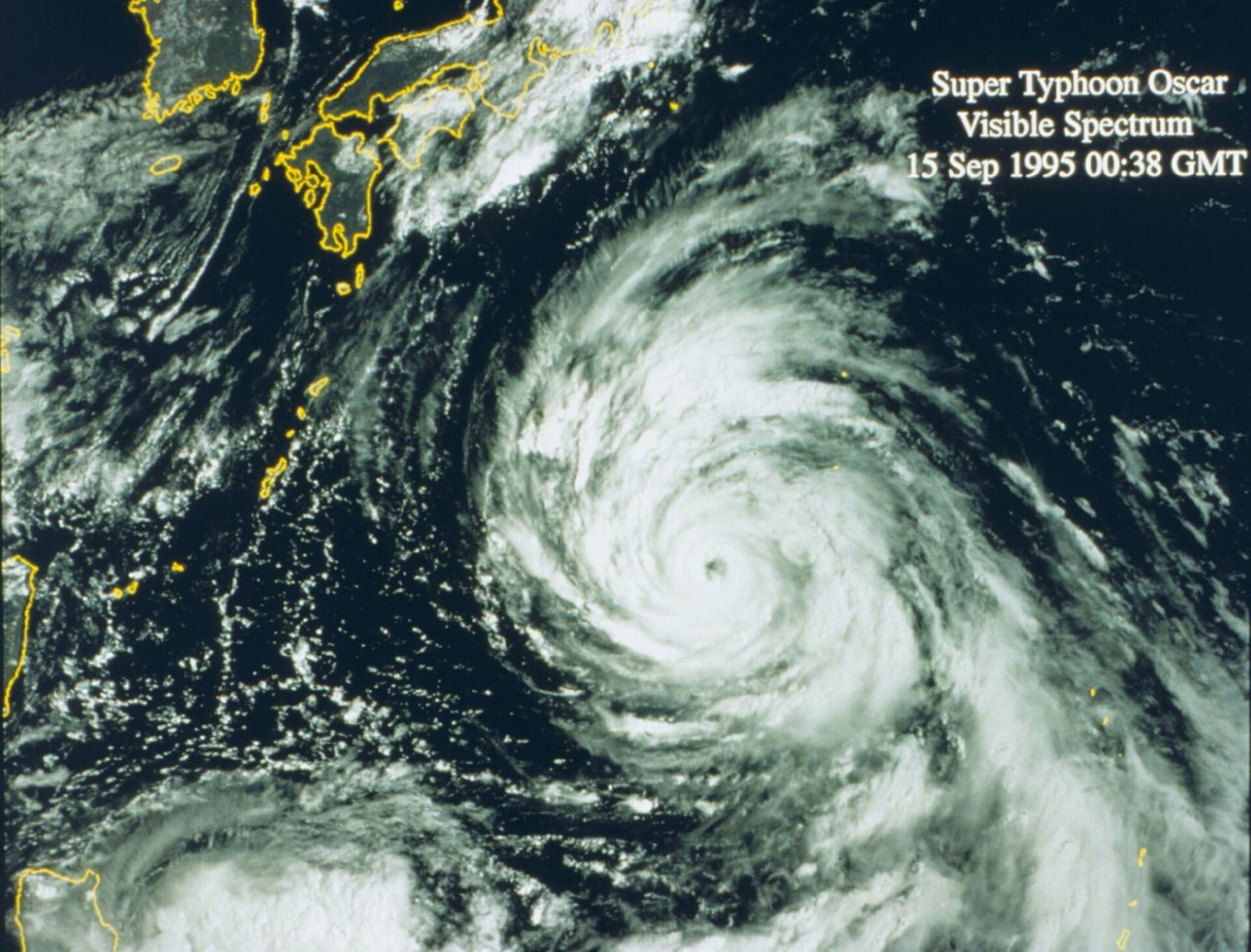
Who takes the cloud pictures in typhoon forecasts? Weather satellites continuously observe clouds, temperature, and water vapor, helping track typhoons and heavy rain.
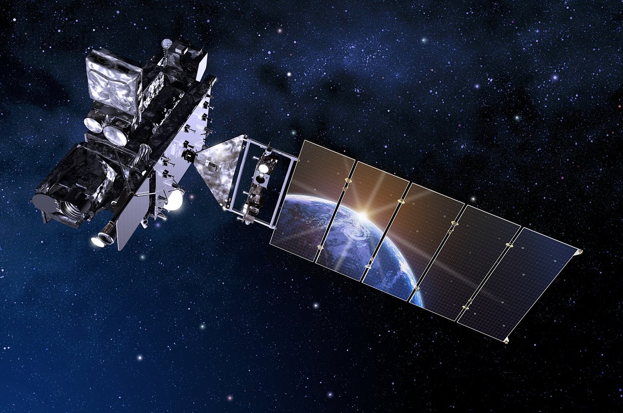
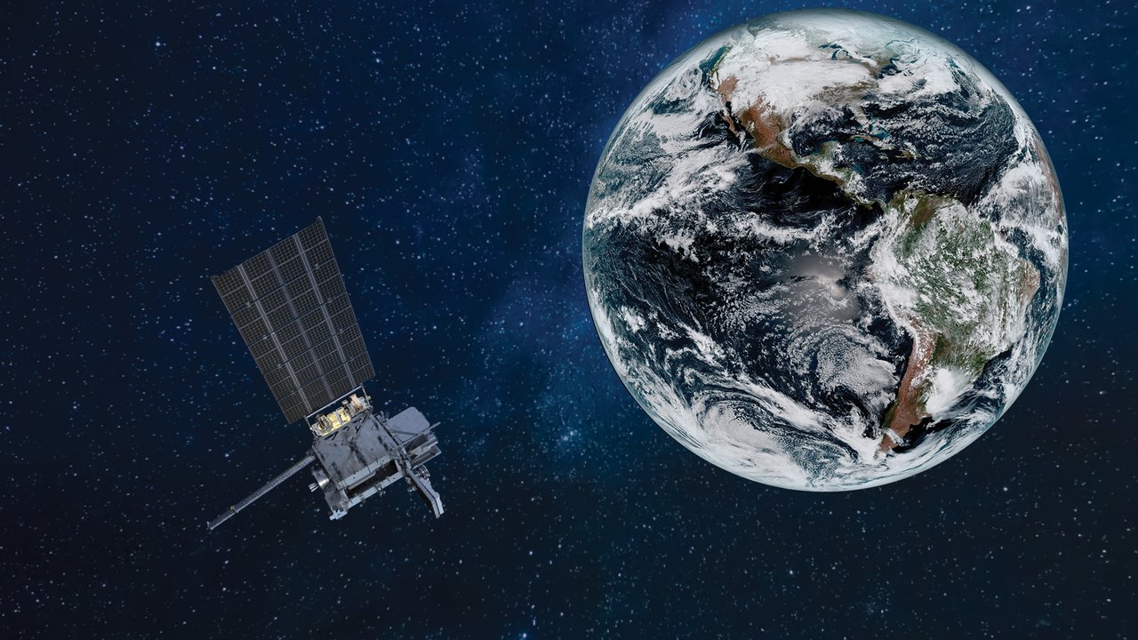
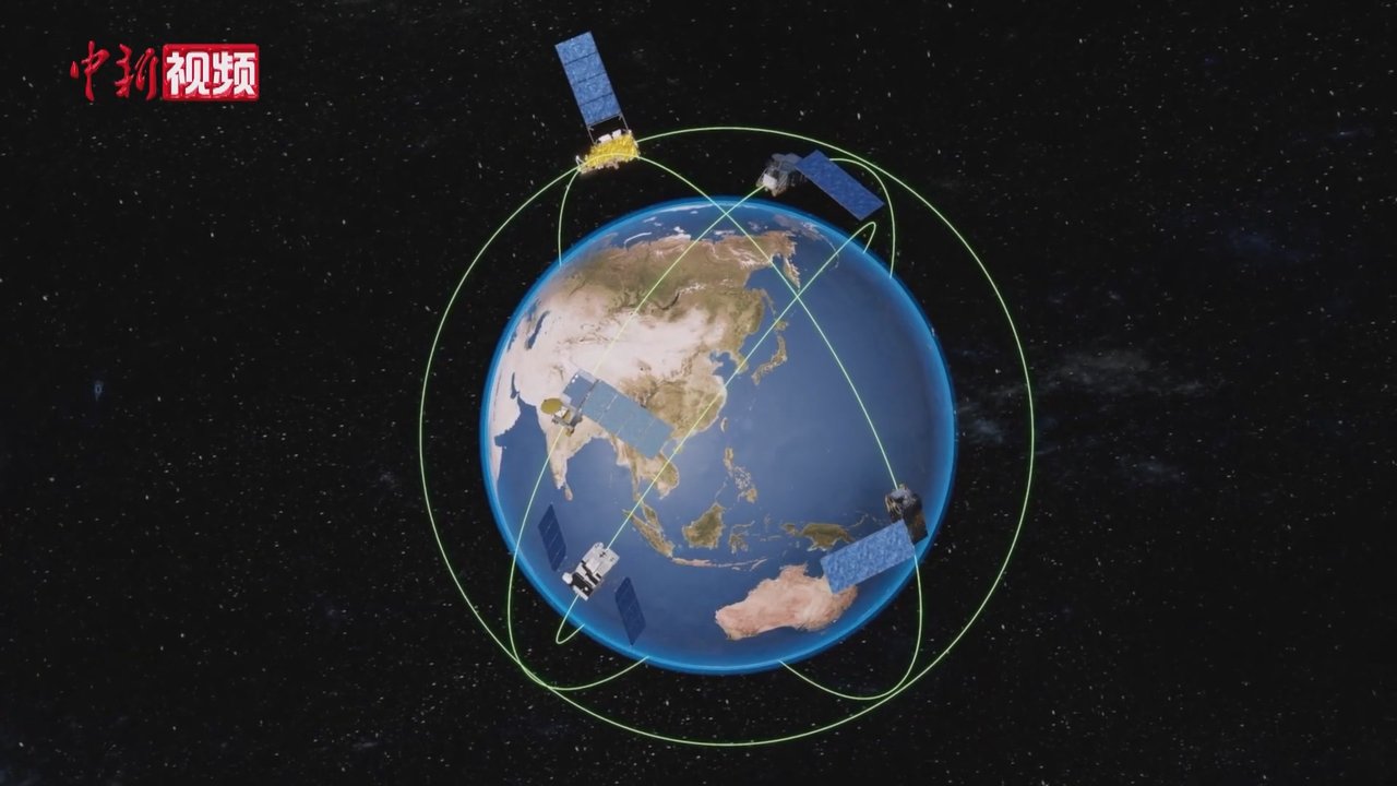
They mainly fall into two groups: polar-orbiting satellites that scan Earth repeatedly, and geostationary satellites that appear to watch the same region.
Two orbits, different strengths
Polar satellites fly over high latitudes at roughly 800 km. As Earth rotates, successive swaths scan the globe like a copier. NOAA’s polar series and China’s Fengyun 3 are examples.
Geostationary satellites operate about 36,000 km up, continuously watching a large region. They are ideal for animations of moving storms; GOES and Fengyun 4 are examples.
How are cloud images made?
Satellites do more than take ordinary photographs. Visible-light instruments record reflected sunlight by day; infrared channels estimate cloud-top temperatures day or night. High, cold cloud tops often indicate strong convection.
Colorful news images often combine processed spectral bands. Their colors emphasize temperature, cloud height, or moisture rather than exactly what human eyes would see from space.
Can a satellite say exactly when rain will reach your home?
Not by itself. Forecasters combine broad satellite observations with weather stations, radar, and balloons in numerical models. Satellites are particularly valuable over oceans and remote regions, revealing large weather-system changes earlier.
China’s first Fengyun weather satellite launched in 1988. The family subsequently developed coordinated polar and geostationary observations, supporting weather monitoring and disaster warnings around the world.
Did you know?
The strongest winds are not necessarily inside a typhoon’s eye. The fiercest weather usually lies in the surrounding eyewall. Satellite observations of the eye and cloud structure help assess whether a storm is strengthening or weakening.