GOES
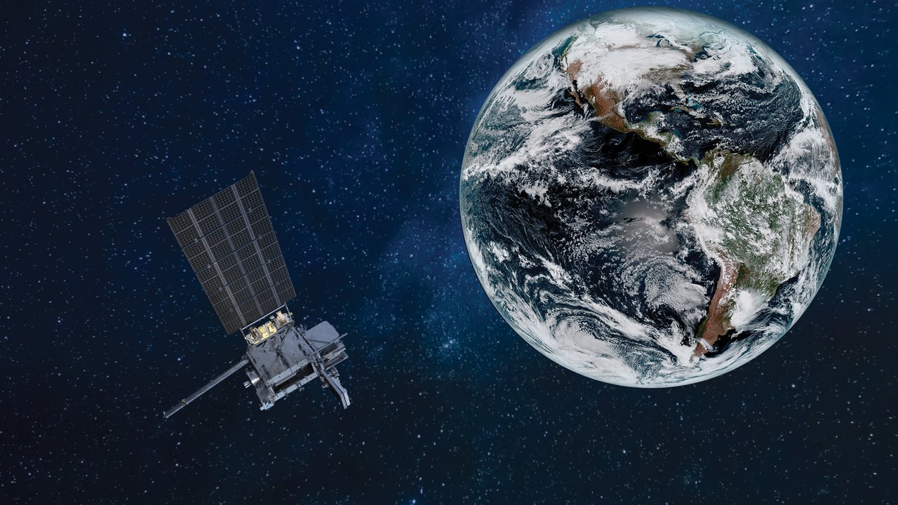
NOAA’s geostationary weather satellite series began in 1975. Operational eastern and western satellites watch the Americas for weather forecasting, hurricane tracking, and space-weather monitoring.
How can a hurricane approaching land be followed almost like a live broadcast? GOES satellites continuously watch the Western Hemisphere, reporting cloud movement and thunderstorm development.
GOES stands for Geostationary Operational Environmental Satellite. Operated by NOAA, the series has watched the Americas and nearby oceans since 1975 from roughly 35,790 km above the equator.
Why can it watch the same place continuously?
Its orbital period and direction match Earth’s rotation, making it appear fixed in the sky. This is ideal for hemispheric monitoring but gives poor views near the poles.
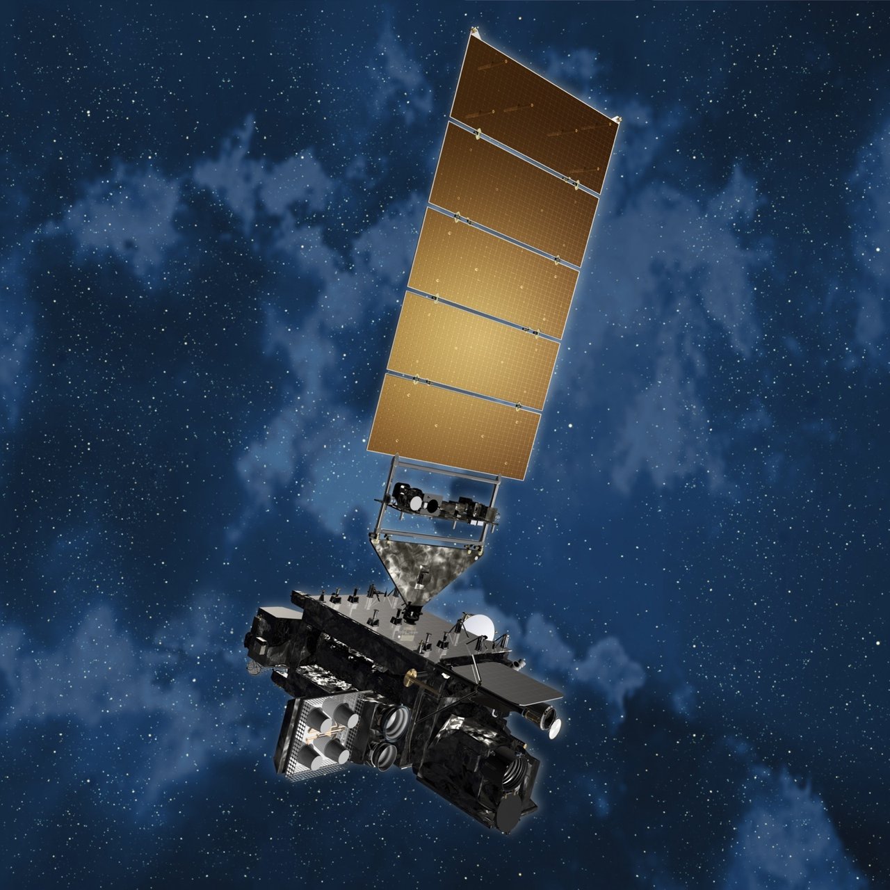
NASA develops and procures the spacecraft; NOAA operates them. GOES-1 launched on October 16, 1975. Early satellites spun like tops and scanned slowly; the GOES-R series uses three-axis stabilization for more flexible pointing.
How does it see lightning?
The Advanced Baseline Imager (ABI) uses visible and infrared channels to observe clouds, moisture, temperature, and fires. The Geostationary Lightning Mapper (GLM) detects brief flashes within clouds and between clouds and ground, helping assess rapidly intensifying storms.
The satellites also monitor the Sun and near-Earth space. Solar eruptions can disrupt radios, spacecraft, and power grids, making space-weather forecasts valuable too.
How can cloud pictures help us avoid disasters?
A single image shows the present; a sequence reveals motion and development. Images taken minutes apart show changing hurricane eyes, cloud tops, and smoke. Forecasters combine them with radar, stations, and models to issue warnings.
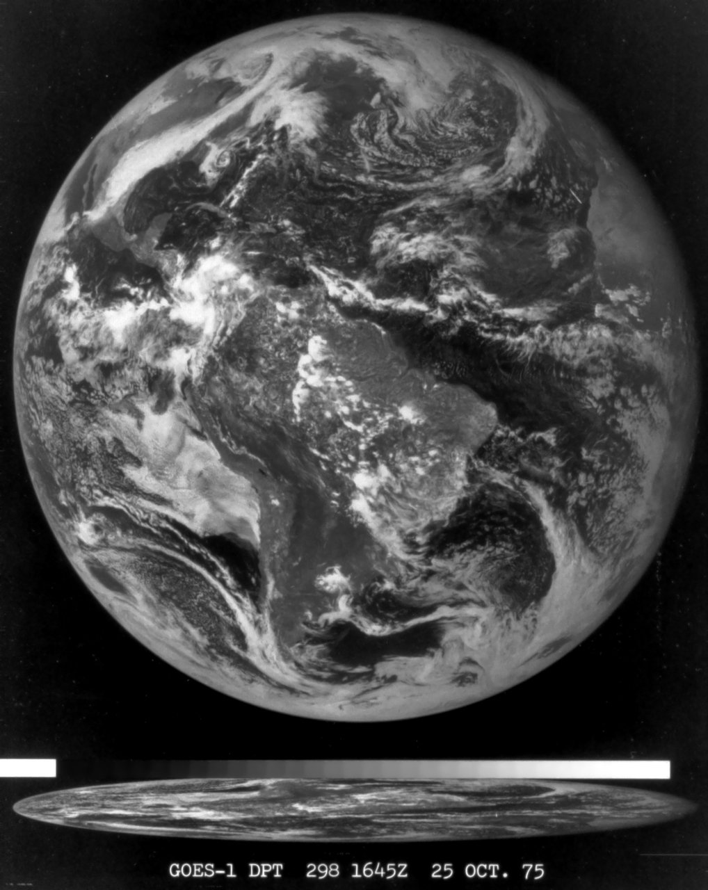
GOES-1 returned its first full-disk Earth image on October 25, 1975. The family has since recorded countless hurricanes, thunderstorms, fires, and volcanic events.
Did you know?
GOES typically operates eastern and western satellites with backups. Periodic burns maintain their positions. As fuel dwindles, operations change before the spacecraft are raised to graveyard orbits.