Landsat
NASA and USGS began the longest-running continuous Earth observation program with Landsat 1 in 1972. From a roughly 705 km Sun-synchronous orbit, each satellite revisits every 16 days to record agriculture, forests, disasters, and urban change.
Can we watch a city grow from space? Landsat has documented Earth’s forests, fields, glaciers, and cities for decades, creating an extraordinarily long planetary documentary.
The first Earth Resources Technology Satellite launched on July 23, 1972, later becoming Landsat 1. It began one of the longest continuously operating Earth observation programs.
What is it?
NASA develops Landsat spacecraft; the US Geological Survey operates them and distributes data. They primarily study land but also image coasts, lakes, and rivers.
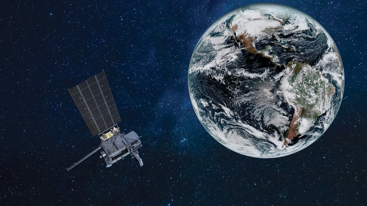
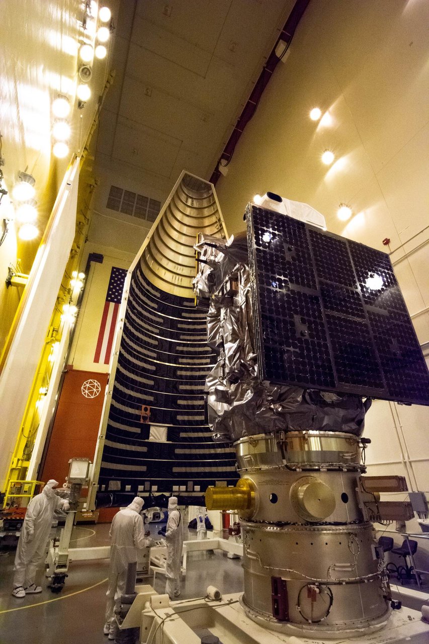
Landsat 8 launched in 2013; Landsat 9 followed on September 27, 2021. Their near-polar Sun-synchronous orbits are about 705 km high. Together they revisit about every eight days, passing at similar local times for comparable lighting.

More than visible colors
Multispectral instruments record visible light, near-infrared, and thermal infrared. Healthy plants, dry land, and hot areas show distinctive features in these different bands.
Applications include crop assessment, irrigation, forest monitoring, flood and wildfire impacts, urban expansion, glacier retreat, and coastline change.
Are these images like phone maps?
Not exactly. Phone maps prioritize recognizable detail and navigation, often combining different dates and sources. Landsat emphasizes consistent, repeated observations. Its images may not have the finest resolution, but they are ideal for comparing a place across decades.
A camera that worked for 29 years
Landsat 5 operated from 1984 to 2013, about 29 years, earning a Guinness World Record for the longest-operating Earth observation satellite. The freely available archive lets students, scientists, and anyone else build their own Earth time machine.