Copernicus Sentinel satellites
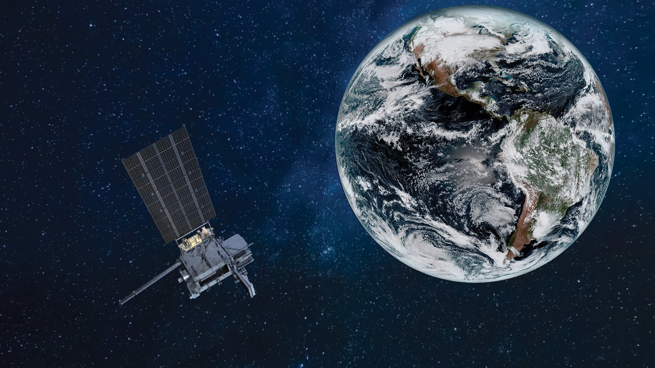
The core of the EU’s Copernicus program includes Sentinel-1 radar, Sentinel-2 optical imaging, Sentinel-3 ocean observations, Sentinel-5P atmosphere monitoring, and Sentinel-6 altimetry. Free global access to their data has transformed Earth observation.
Can a satellite see floodwater under thick clouds? Some Sentinels can, using radar rather than sunlight.
The Sentinel family is central to the EU’s Copernicus program. Different series study land, oceans, and atmosphere. Most data is freely accessible to everyone.
Sentinel-1: through darkness and clouds
Sentinel-1 carries C-band synthetic aperture radar (SAR). It sends microwaves toward Earth and receives echoes, rather like a bat using sound. Microwaves pass through many clouds, enabling imaging at night and in cloudy weather.
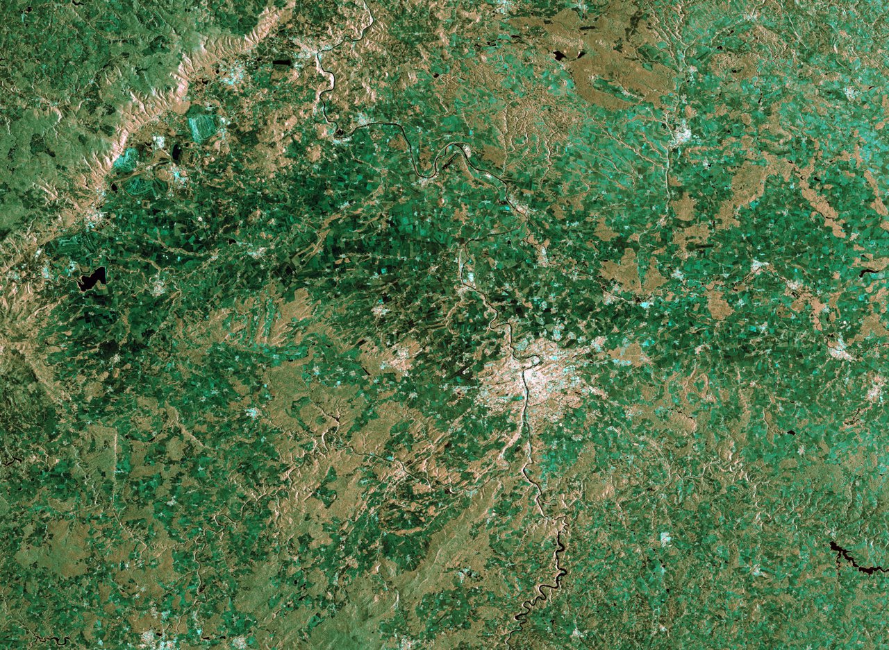
Brightness in a radar image represents reflected microwave strength. Calm water is generally dark and dense urban areas bright. Comparing images can reveal ground motion of centimeters or less.
Sentinel-2: thirteen spectral views
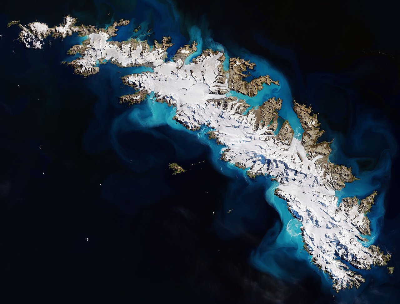
Sentinel-2’s multispectral imager uses 13 spectral bands. These reveal distinctive signatures of healthy vegetation, turbid water, and burned ground. Since 2015, its images have supported agriculture, forest, lake, and disaster monitoring.
What do the other Sentinels observe?
Sentinel-3 measures sea-surface temperature, ocean color, and land properties. Sentinel-5P studies atmospheric methane, ozone, nitrogen dioxide, and aerosols. Sentinel-6 uses radar altimetry to extend the long-term sea-level record.
What can anyone do with the data?
Compare seasonal changes in local rivers, lakes, farms, and cities, or examine images before and after floods and fires. Processing and interpretation matter: unusual colors may represent special wavelengths rather than the view a person would see.
Why does free data matter?
Researchers, emergency agencies, schools, and businesses worldwide can use the same observations for fire assessment, glaciers, coastlines, or crops. Open data lets more people study and protect Earth together.